Fort Sill Indian School
Location
Directions
Lawton, East on OK 7 (Lee Boulevard) ,exit north onto I-44 to US 62 exit East, over I-44, go over railroad track make first right-go 1 mile to blinking light go through light watch for first left on to a mile long drive.
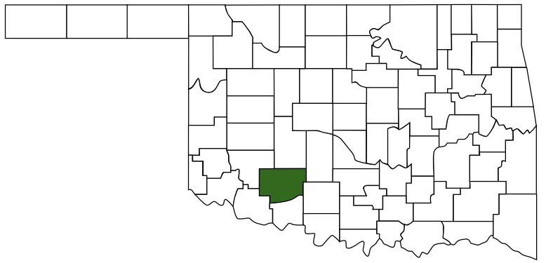
Lawton, OK, Comanche, County
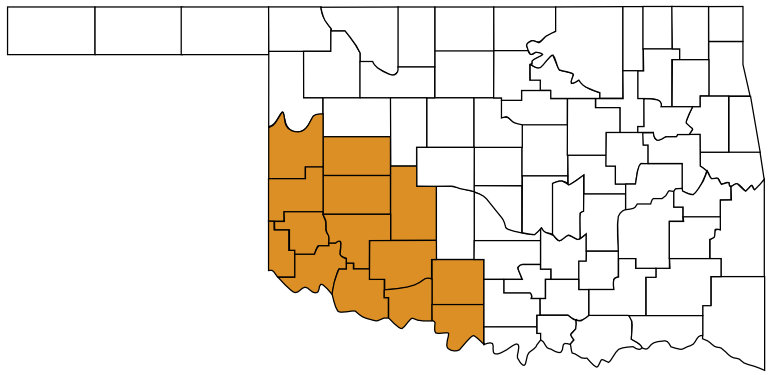
Regions
Maps
- 34.62052, -98.38489
- OpenStreetMap
- Google Maps
- Bing Maps
- Apple Maps
- MapQuest
Pictures
Notes
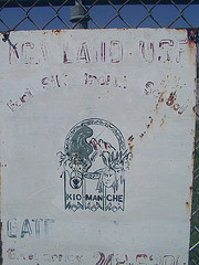
School was closed in 1988
Building 309, Fort Sill Indian School ** (added 1973 - Building - #73001559)
E edge of Lawton, off U.S. 62, Lawton
Historic Significance: Event, Architecture/Engineering
Architect, builder, or engineer: Unknown
Architectural Style: No Style Listed
Area of Significance: Native American, Education, Architecture
Period of Significance: 1900-1924
Owner: Federal
Historic Function: Education
Historic Sub-function: Educational Related Housing
Current Function: Vacant/Not In Use
More Pictures:


 Comanche County
 Great Plains Country
 Oklahoma